In Parkersburg, there is a park that once, during the Civil War, was Fort Boreman that is a good place to view Parkersburg, and of course the railroad in town. In our first view, you can see the bridge over the Little Kanawha River that empties into the Ohio River. Note the steel platforms on both sides of the track just before the bridge. I believe that at one time there were stations on those platforms.
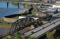 The grade up to this bridge seems rather steep, and must be quite a strain on the engines pulling up to cross the bridge. Running under the bridge is the track to the high line, the yard that is where the old main from Grafton once entered Parkersburg. The wall to the left of the bridge is the flood wall. It is quite cramped in this area!
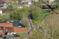
Here is a view of the track up to the high line. I have read that since the turn table has been removed, it is quite an interesting maneuver to go from the low yard to the high yard.
Up on the hill, you can look down and see the low yard. In the yard is a coal drag waiting to leave. I was thinking maybe it would leave soon, but it never did.

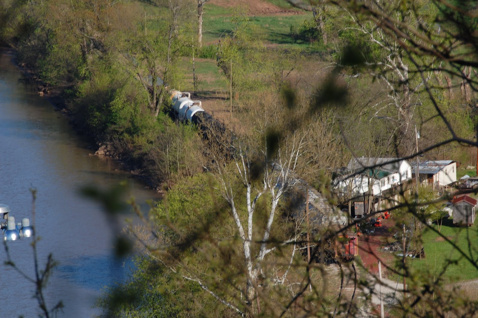 Following the tracks, I noticed in the distance an industry with a siding. I suspect that is where I heard a horn toot a few minutes earlier. I wonder what goes in/out there? I didn't have time to drive down and investigate, but maybe another day.
Finally here is a shot of the three bridges that cross over the Ohio from Parkersburg to Belpre, Ohio.In the foreground is the old US 50 bridge-a new one is just south that crosses the Ohio south of Belpre-behind it is the old B&O bridge, and in the distance is the RT 7 toll bridge.

No comments:
Post a Comment